We make maps that help direct aid

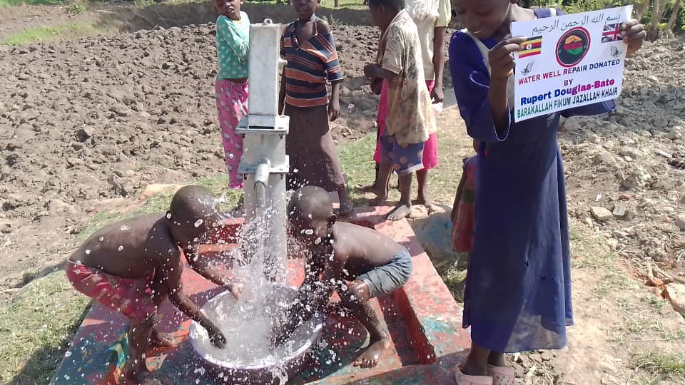
Our laser focus is the creation of an AI generated shallow groundwater map in East Africa, to optimise shallow well drilling for small farmer irrigation and drinking water.
Cost is not a barrier as the map is inside our WellMapr© app, on a phone or PC, and free at the point of use.
FOCUS